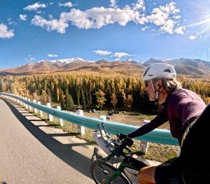
体验绝佳的沿帕米尔公路的环线骑行 Thanks to LiamW for the route concept and company. A great loop ride along part of the Pamir Highway.
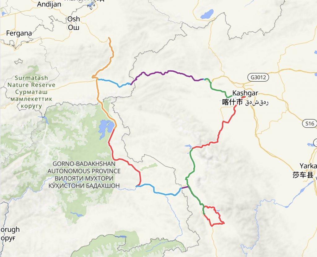
PRC > 吉尔吉斯斯坦 Kyrgyzstan > 塔吉克斯坦 Tajikistan > PRC.
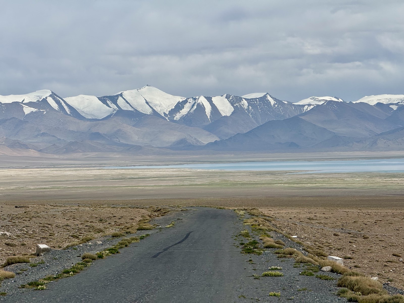
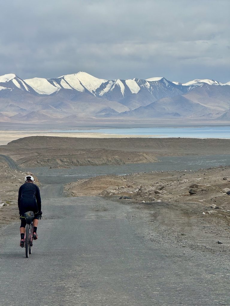
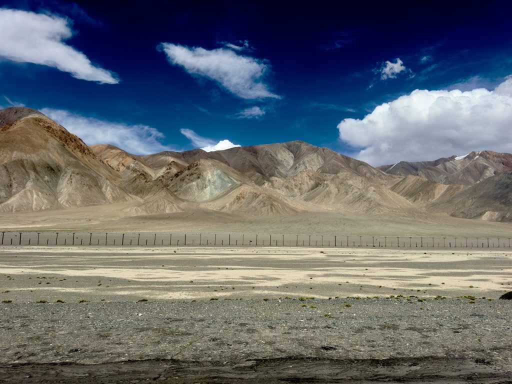
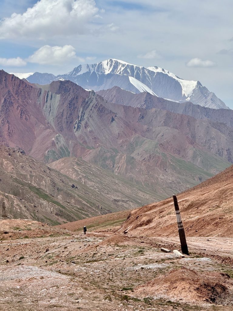
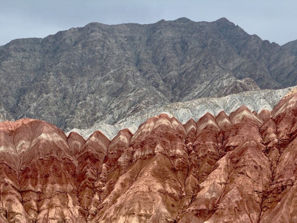
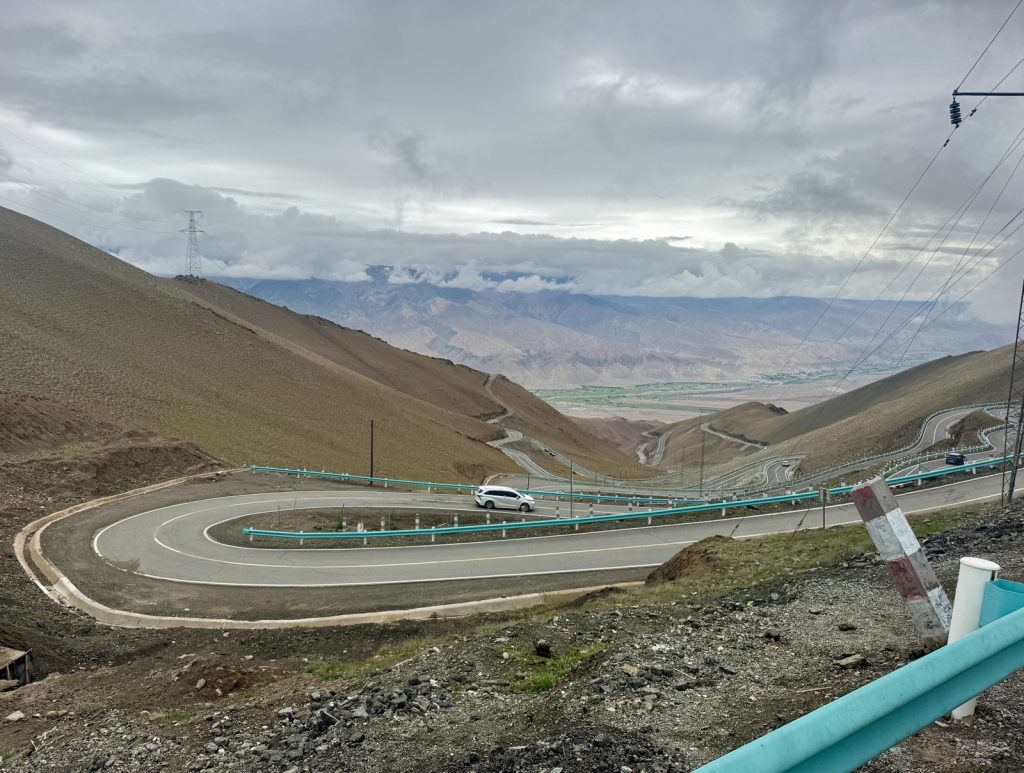
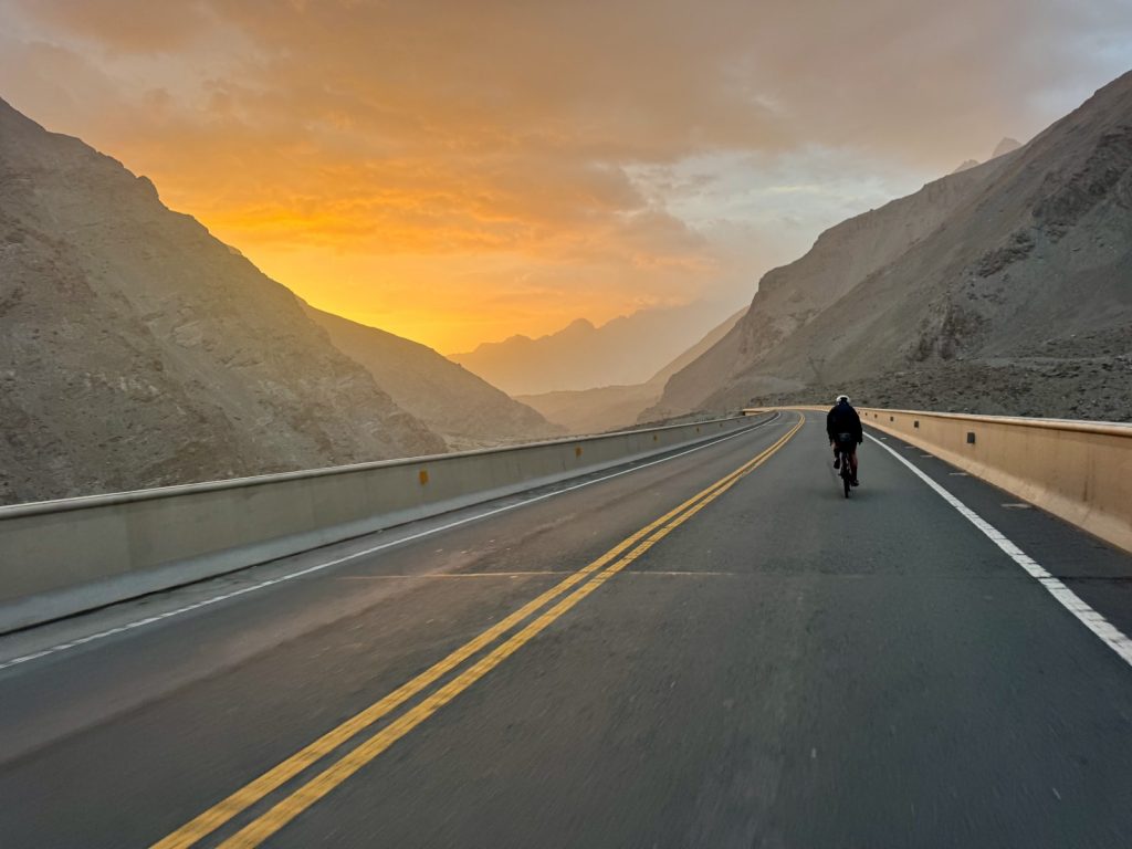
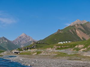
帕米尔公路 Pamir Highway.
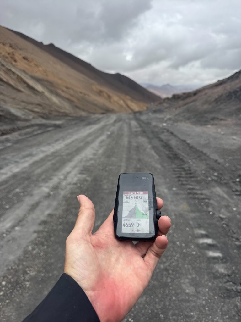
1,378km, 15,685m with 6 climbs 4000m + sea level…. full route collection on RWGPS
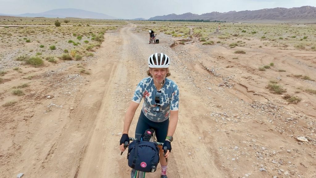
- Light touring: staying in hotels and whatever we found. A good option as not wayed down too much with gear which makes mountain passes a lot easier.
- Weather & Altitude: from 35c in the lowlands to snow / sleet on top of the passes. Pack clothes for everything. 1000m to 4650m altitude. Don’t plan on huge km’s each day due to altitude aclimatization and slowing you down with the terrain and road surface!
- Road Conditions: Mix of road, 70% and 30% gravel / sand / washboard / pothole roads. Tire selection was perfect. Little traffic outside of China. In China had more traffice but good hardshoulders. Overall good but tough riding.
- Border crossings & Permits: better check online. We had a visa for Kyrgyzstan which we did not need. We had a Visa for Tajikistan which we did not need but we needed a GBAO permit for the Panmir road. All can be done online, give it a good 10 days.
- Money: USD cash was used to pay directly for hotels / places to stay and we exchanged a few small notes for local currency. China needs wechat / Alipay. Cash not needed even needed in remote areas of China.
- Hotels / places to stay: China has lots of options at different budgets. Use Trip.com . K & T search on google maps / booking.com . Also ask locals where to stay.
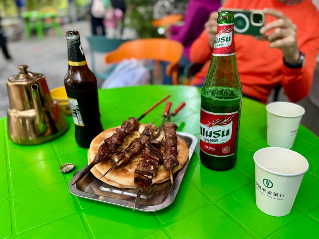
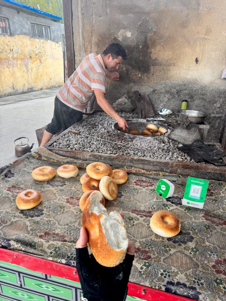
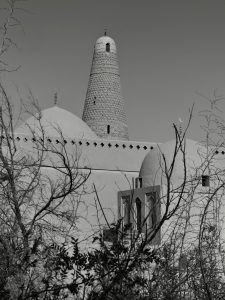
- Food: Kyrgyzstan & Tajikistan has quite basic cuisine. China / Xinjiang much more variety and quality.
- Route check: We were planning to do an off-road loop going from Osh south to Sary in Kyrgyzstan. Landslides and rockfall had removed paths over the high passes, resulting in a 15km hikeNbike hell which we decided not to do. Check any off road paths close to the time of your riding and be ready to make changes to routes.
- Communication: China has no issues other than foreign apps being blocked. Use a foreign SIM card. K&T has limited or no digital signal but wifi available in many of our homestays and hotels.
- Route: you could cut down by reducing D3 and removing D4 by staying in Sary Tash but we like going down in altitude for a night. You could also cut Tashgurgan and remove D9 but we dont suggest that. Making it longer, try and find a loop from Osh and other loops around Tashgurgan. Your also right next to Pakistan so a few days in the Hanza valley / kkh is really really recommended.
Day 1 – 2199m, S: 3.5, R: 3.5g, H: 3
Day 2 – 2966m, S: 3.5, R: 4t, H: 3
Day 3 – 3771m, S: 4.5, R: 4t, H: 3.5
Day 4 – 3597m, S: 4, R: 4, H: 3.5
Day 5 – 4295m, S: 5, R: 2.5g, H: 2
Day 6 – 4650m, S: 4.5, R: 2.5g, H: 1.5
Day 7 – 4404m, S: 3.5, R: 1g, H: 1
Day 8 – 4404m, S: 4, R: 4, H: 4.5
Day 9 – 4274m, S: 4.5, R: 4, H: 4.5
Day 10 – 4073m, S: 3.5, R: 3, H: 2.5
Day 11 – 3334m, S: 3.5, R: 3 – fly
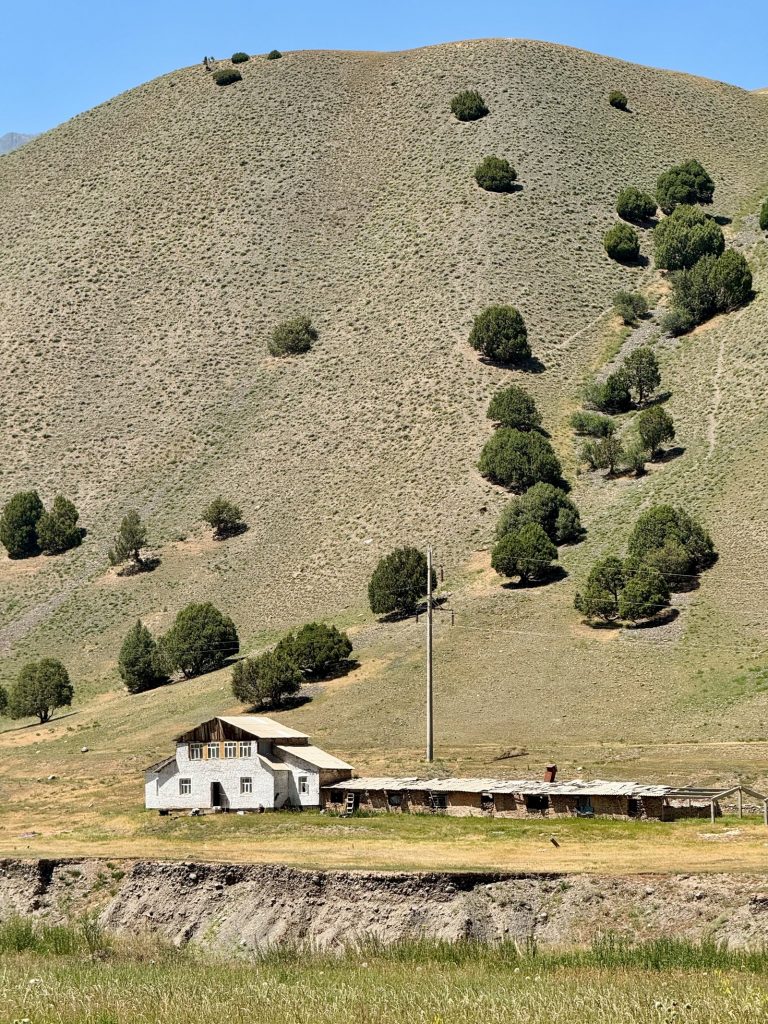
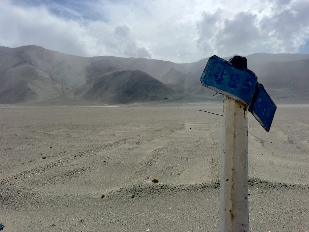
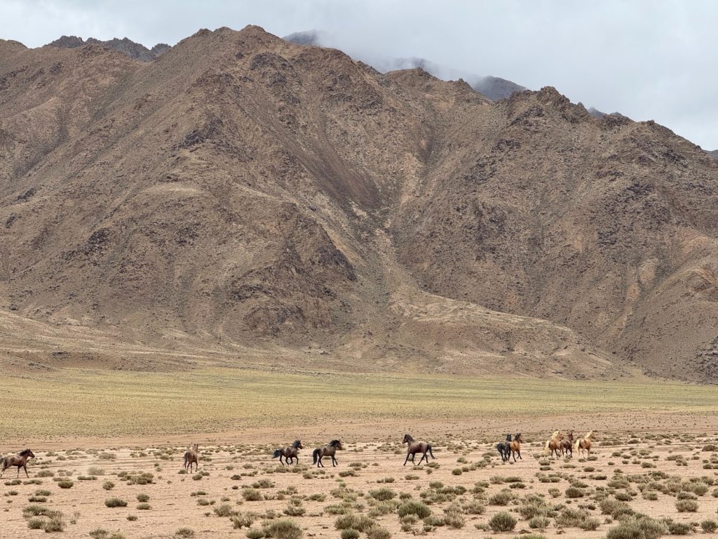
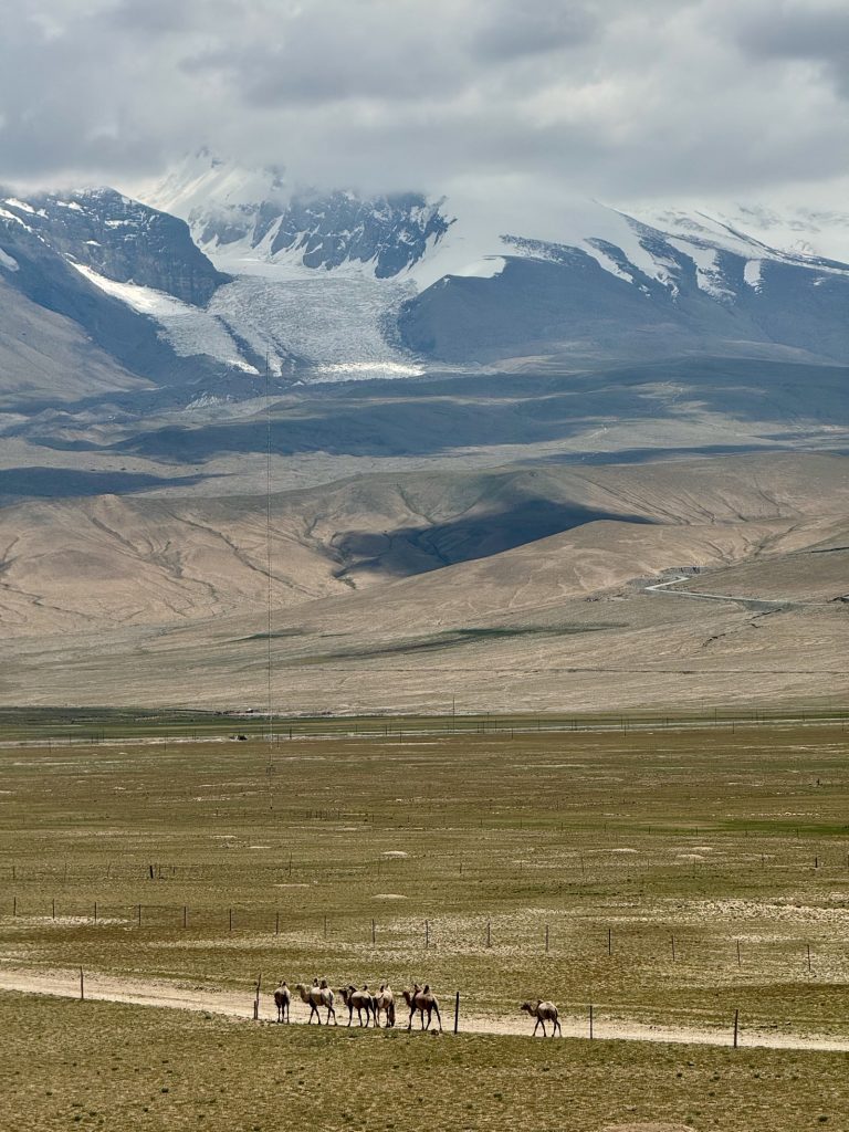
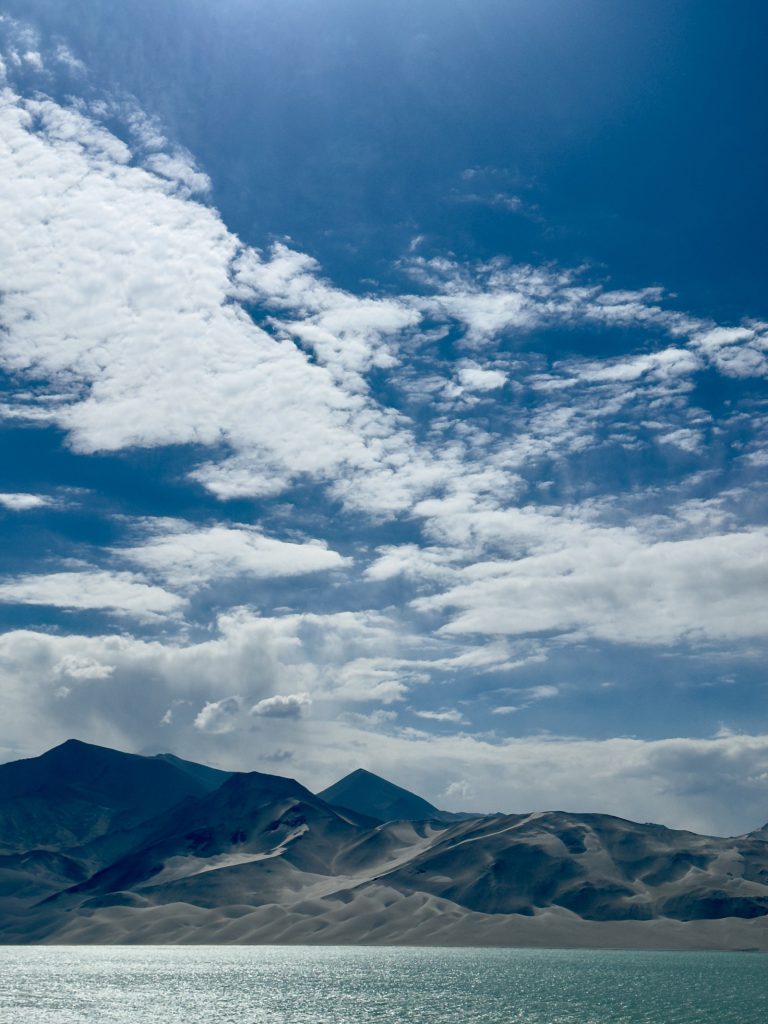
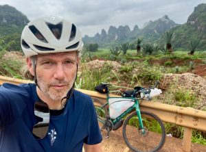
Gallery:


Many thanks for the support from:

WBR Rides:


Social Media: